About the project
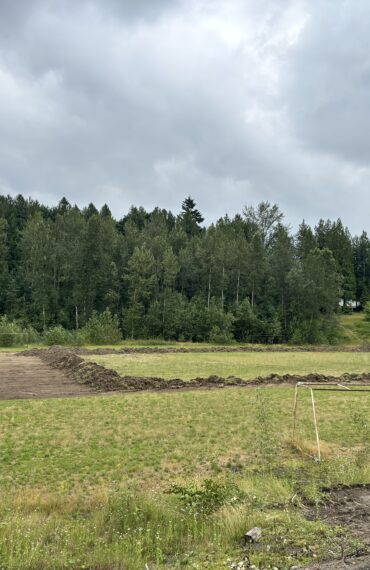
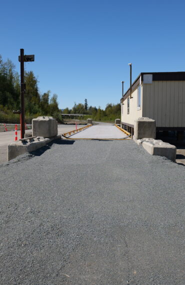
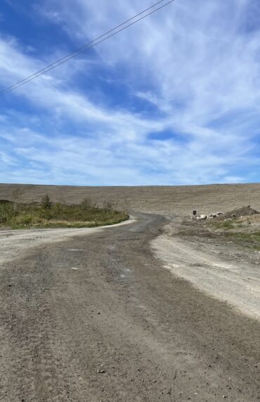
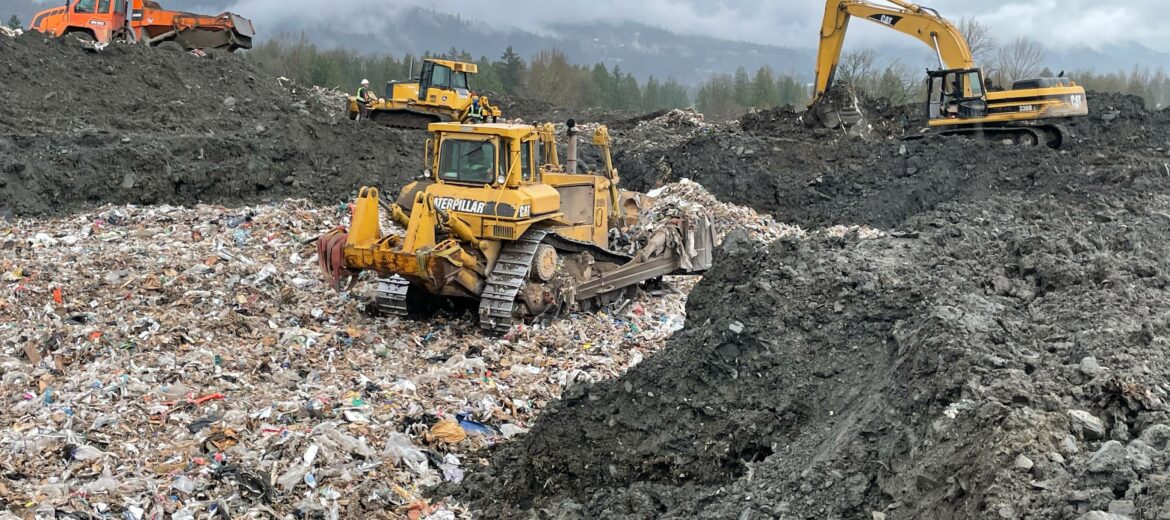
The Cheam Landfill is located at the corner of Highway 9 and Old Yale Road, on the Cheam Reserve. Surrounding the site is Highway 9 to the east, the Canadian National Railway to the north, and the Cheam Reserve to the south and west. The Fraser River is located about 1 km north of the landfill. Overhead power lines cross through the site at the southeast side of the landfill. The Cheam Landfill currently occupies a waste footprint of approximately 15.7 hectares. Landfill waste depths range from around 3 to 30 m and the landfill has existing grades ranging from around 12% to 38% (Ayelstexw, 2016). Landfilling of construction demolition waste, some contaminated soil, and most recently auto shredder residue has been occurring for many years. Acceptance of refuse at the site is believed to have begun around 1992 (Ayelstexw, 2020). Previously, the site was reported to be the location of a gravel quarry. The landfill site is reported to have been engineered with an impermeable soil liner and leachate collection infrastructure (Ayelstexw, 2020). Leachate collection ponds are currently in place on the west side of the landfill.
Services:
Construction and Demolition Landfill Site operations.
Led By:
Rocky Point Environmental
Duration:
March 2020 to August 2021.
Location:
Rosedale, British Columbia
Recently Completed
